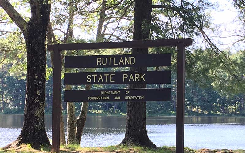
More than just a dam
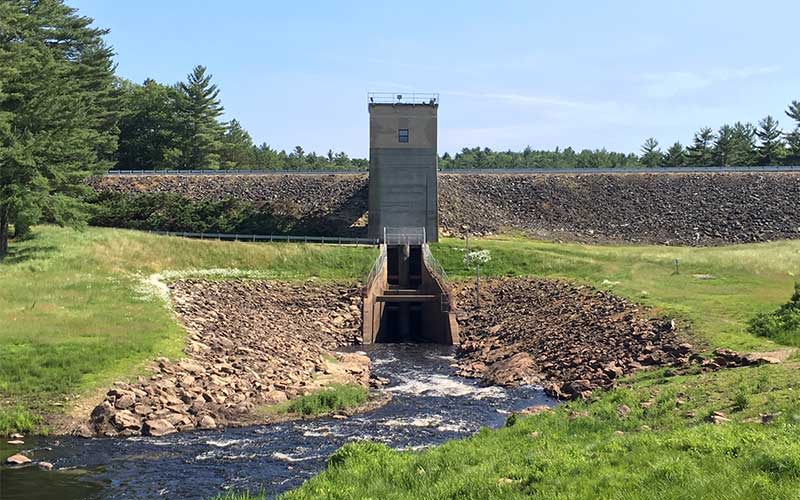
Starting at the northern Barre Falls Dam area you will find picnic pavilions, clean facilities, and an incredibly popular disc golf course. The headwaters of the Ware River are impounded behind the Barre Falls Dam every winter, flooding hundreds of acres and creating an incredibly rich flood plain that is home to otters, beavers, moose, deer and upland birds. It’s not uncommon to walk through some of this low lying brush during the summer and fall and spot a Woodcock or two.
Discover miles and miles of unpaved roads that criss-cross the park, all of which are suitable for recreational biking and general traffic. Some of the roads do fluctuate in conditions and may be challenging to navigate by vehicle, so a truck or SUV is recommended. Please be sure to go slowly, as turtles and snakes are not uncommon sights on the roads.
An abandoned prison camp
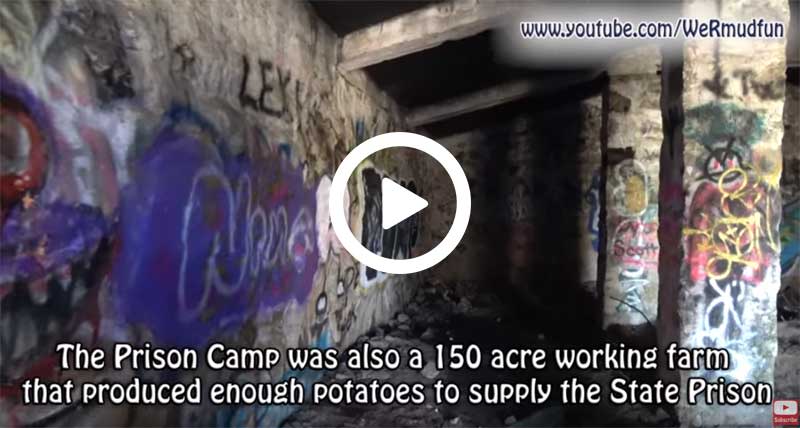
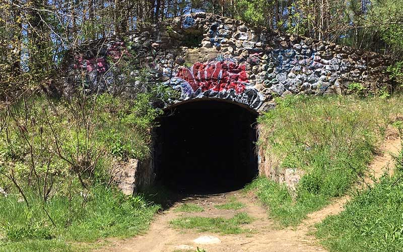
One of these unpaved roads is Prison Camp Road, named after an abandoned prison camp. Start at Whitehall Pond swimming area (a family-friendly beach well suited for a day of swimming) at Rutland State Park and head north on Prison Camp Road, eventually you’ll start to see the concrete ruins you can explore.
Rutland served as a prison camp numerous times. In 1777, after the loss at the Battle of Bennington, British General John Burgoyne and 6,000 of his men (including Hessian mercenaries) surrendered to colonial forces. In the 19th century, Rutland was home to a prison that served as a farm, sometimes a tuberculosis ward, and the concrete ruins of this complex can still be explored today.
A strange cemetery that tells of a tragic tale
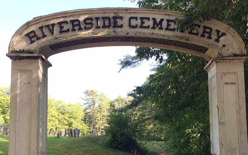
One of the stranger parts of Rutland State Park is the Naramore Graves at Riverside Cemetery. The graves tell the story of the Naramore children and can be found on Covered Bridge Road in Barre.
Cool finds along a rail trail
Parts of the Mass Central Rail Trail run along the southern end of the park while the Ware River Rail Trail runs from Route 122 in Oakham to Baldwinville. Both of these trails have a relatively low grade but are more suited for mountain bikes than road bikes.
Hunting and fishing can be done throughout the area, as always check with the Department of Conservation and Recreation for the appropriate rules and regulations and please get your license.
Getting there
By GPS to Whitehall Pond: To get to the beach area at Whitehall Pond on the southern side of the park, GPS 49 Whitehall Road, Rutland, MA.
By GPS to Barre Falls Dam: 126 Barre Road, Hubbardston, MA will bring you to the Barre Falls Dam area on the northern end of this area.
Plenty of maps can be found online: A pro-tip is to buy a Massachusetts Atlas and Gazetteer; cell phone service may be limited. (If you aren’t map savvy, take screen shots of the road system to refer to in case your service cuts out.)